Rather than spend yet another day cooped up inside working on the endless minutiae of typeface production I grabbed my pack and went wandering. Decided to go to the far end of Cootes Paradise and also check out the new bike lane crossing the 403 at the Chedoke Golf Course.

Looking out across the Chedoke Golf Course towards Burlington.

Leaf on a moss covered rock along the Bruce Trail.

The fancy new multi-use trail along the railyard and Chedoke Golf Course. It’s not like you couldn’t get across the rail bridge before, but this makes it a lot more accessible to a lot more people. Anything that improves Hamilton’s bike infrastructure is good in my books. One annoyance though is that before I could cut across the golf course to the Bruce Trail or vice versa. Now a fence blocks that route. I backtracked several hundred meters along the fence and came around it, but I don’t know if the plan is to completely enclose the trail back to its start. Leaves me wondering who plans these things. Deliberately to stop the handful of individuals like me who use that route, or someone who doesn’t hike and can’t visualize that someone might use that route.
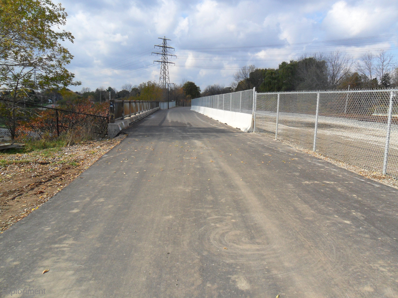
All that remains of a rail route that once stretched as far as Brantford is a marshaling area used by CP Rail. From the bridge here to about Rifle Range Road (oh, how I wish there still was a rifle range) there was still long disused track, which has now been removed and replaced by tarmac. Like I said, you could certainly cross here before, but this is a major improvement. Except for my shortcut cutoff.

Some old folks on their bikes, and wouldn’t ya know it, they were speaking Dutch. Figures.

The Escarpment from the other side of the 403.

I went to the far left of the map to explore some of the old, long abandoned canal sections and where Spencer Creek flows into the marsh.


Grasses I could stand upright in and still be impossible to see from a distance.
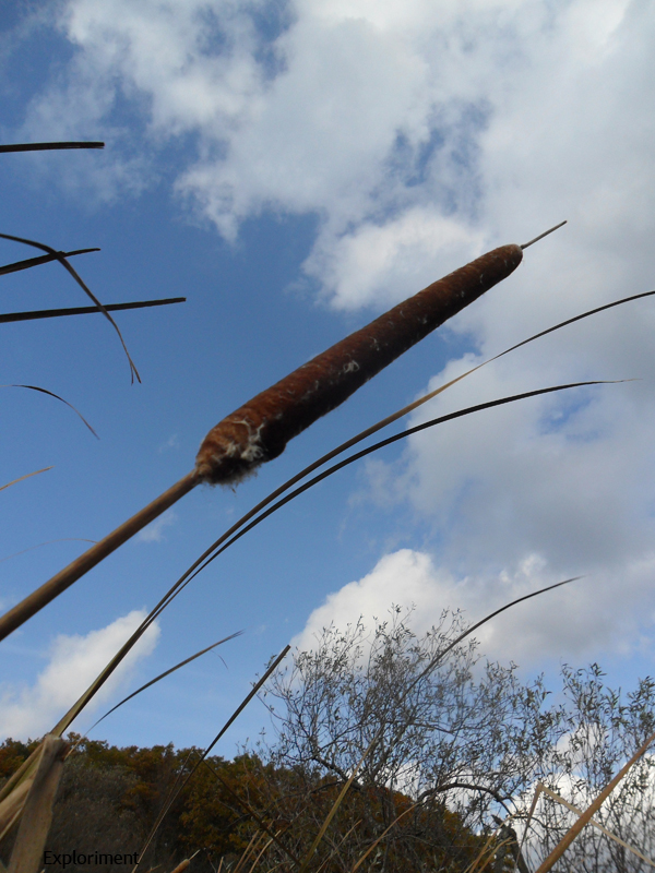
Cat tails (or bullrushes depending on where in the world you’re from) taller than me.

Streamage.


That photo is taken where that red X is on the map. Wasn’t really equipped to go much further. Streams were too wide to jump, and didn’t feel like walking around for the rest of the day in sopping wet boots. If I had waders or even wellies with me I might have explored more.

See microscopic, see world view.


At the time of writing I have not pulled out my mycological guides to determine exactly what they are.


Lovely. From the end of Chegwin Trail.


Gorgeous day, bit chilly which is ideal for hiking, saw an area that I’m not as familiar with, got some exercise.


No comments:
Post a Comment