skip to main |
skip to sidebar
Fall Falls
Had to go out to a craft store this past Sunday, so I opted to hike out to the pedestrian unfriendly Meadowlands Centre in Ancaster.
A grey, very rainy day, but I’m happy to go for a hike any time.
Cliffview and Lower Cliffview Falls.
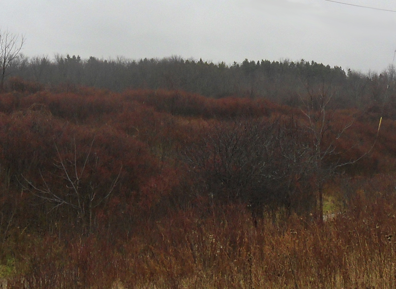
Fall landscape along the Escarpment and Bruce Trail.
Escarpment that was blasted to form the ledge that the Brantford and Hamilton Electric Railway Company line ran along.
There is a bridge along the trail, that due to erosion is being replaced. The bridge, essentially just a Bailey bridge was put in in 2007 at a cost of $60,000. The new one will be 60 meters longer and cost 13 times as much – $800,000. There are signs up stating the trail is closed, but I had no trouble skirting around the closed off area.
The first “impediment.”
The second “impediment.”
This is the cause of the problem. Sanitorium Falls. Well, Sanitorium Drain is maybe a better term. About halfway up the picture, you can see where the water stops flowing over the halfassed drain system, and instead goes under it. And the water quite happily burbled along for quite some time, laughing at mankinds pitiful attempts to control it.
With none of the water going into the three pipes meant for it, it has been eating away at the ground at a relentless pace.
Looking down the rest of the hill. Most of the concrete erosion control measures have been washed down the hill. I doubt any of this is older than 30 years.
Upper Princess Falls
It is not easy getting a good view of Scenic Falls, an 18 m (59 ft) high, 6 m (20 ft) wide Terraced Ribbon Cascade waterfall. Trees obscure most views from the rim of the gorge. Getting to the brink of the falls is relatively easy. The climb down into the gorge is along fairly steep walls, and given that right now it is covered in freshly fallen leaves, and that the day I was there everything was thoroughly rain soaked, I wasn’t about to risk a climb down. The entrance to the gorge is on the 403. There is a way to get there by walking around, but it isn’t so easy.


Very pretty. I'm also thankful you listed the imperial measurements as well. ;-)
ReplyDeleteBut I always make sure to list the Metric before that dastardly Imperial. That's just how I roll....
Delete